

UAP SIGHTING TOOL (BETA)
This test product expands previous “table-top” studies aimed at anticipating locations where & when UAP may be seen, and make those locations/ timeframes available to citizen researchers.
Using 14 fixed/variable conditions, we’ve identified the “optimal” location for each CONUS state (red pin on example map), determined the likely windows when those conditions exist, then monitored for any reports received within those windows and mapped them (green pin). Using this method, for all reports examined, +85% of reports are within a 5 mile to no more than 150 mile radius of an optimal location.
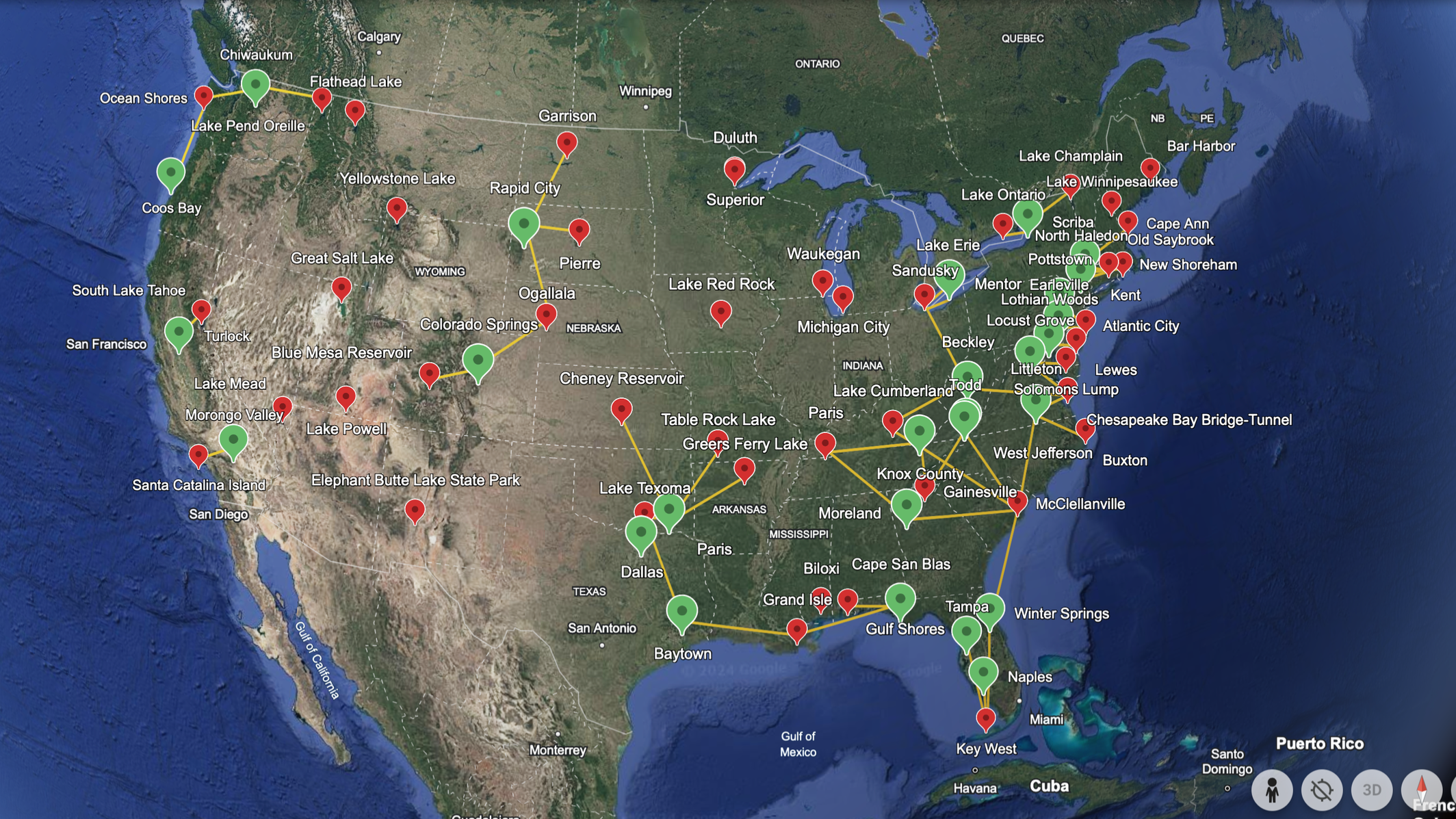
Locations are listed by geo-coordinates. Updates occur regularly. Additional tools and analysis will be published as available.